Joint library
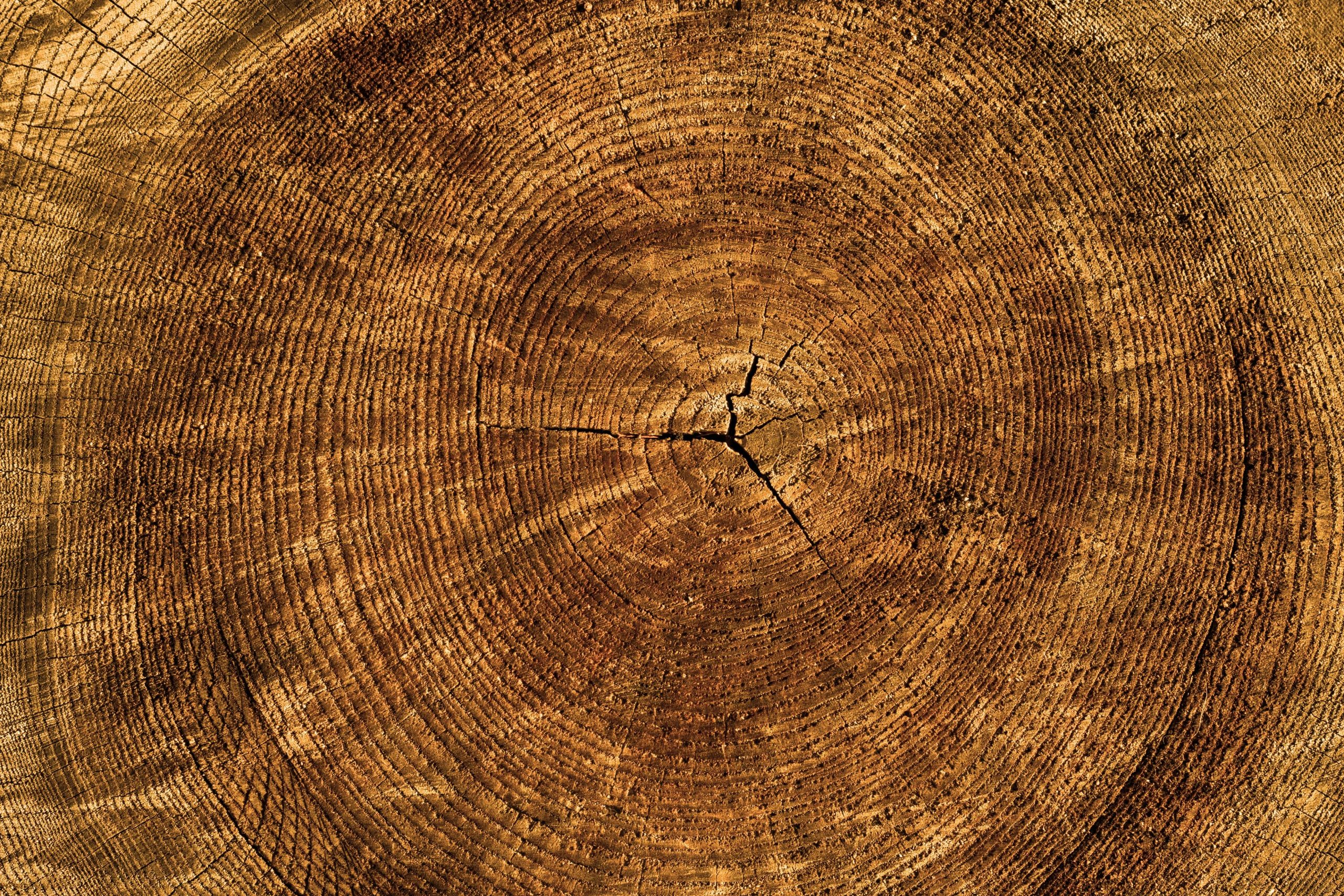
Dendrochronology and Dendrogeochemistry Laboratory
Digital Mapping and Photogrammetry Laboratory (DMPL)

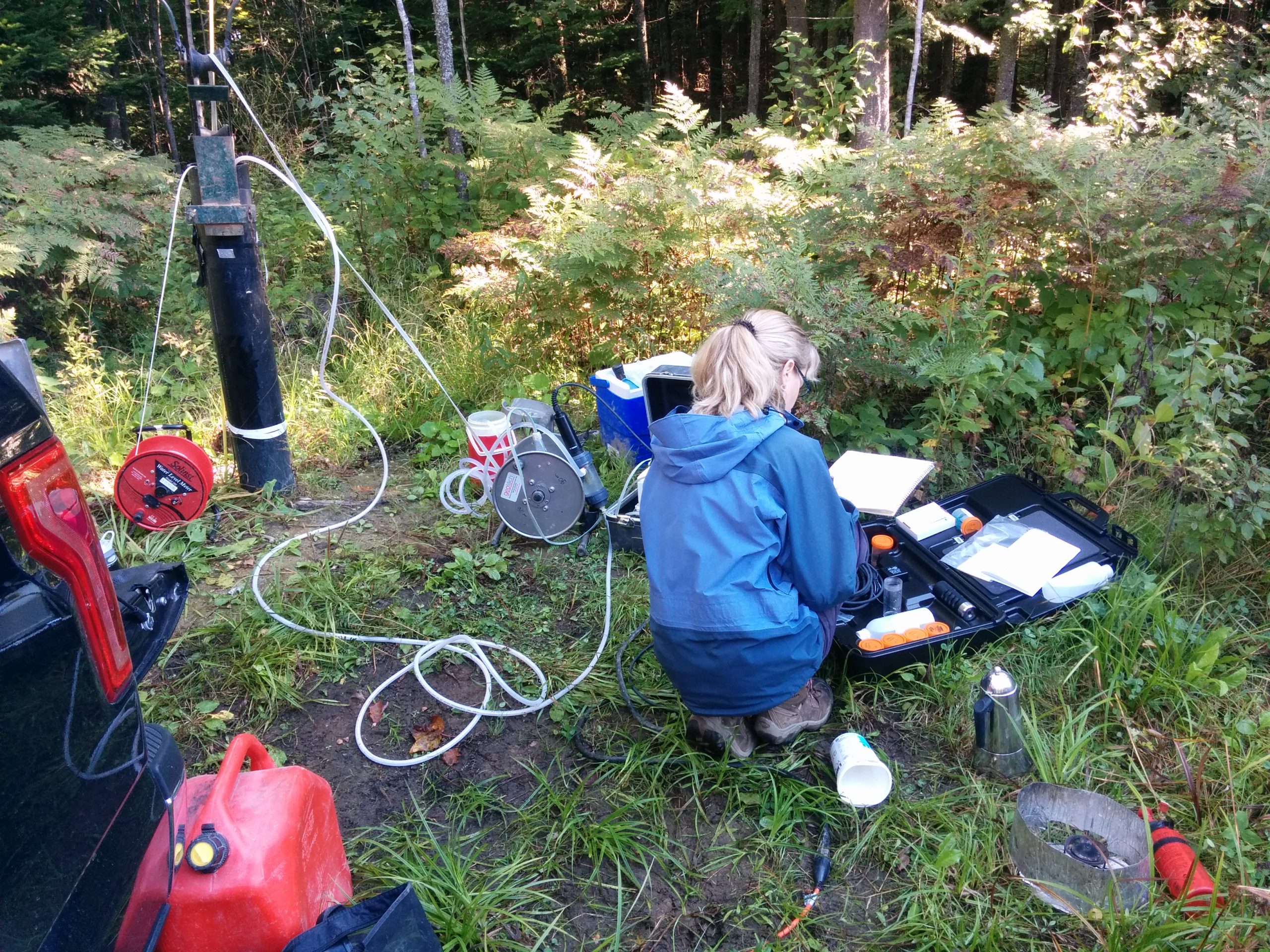
Hydrogeology and Environmental Characterization Laboratory
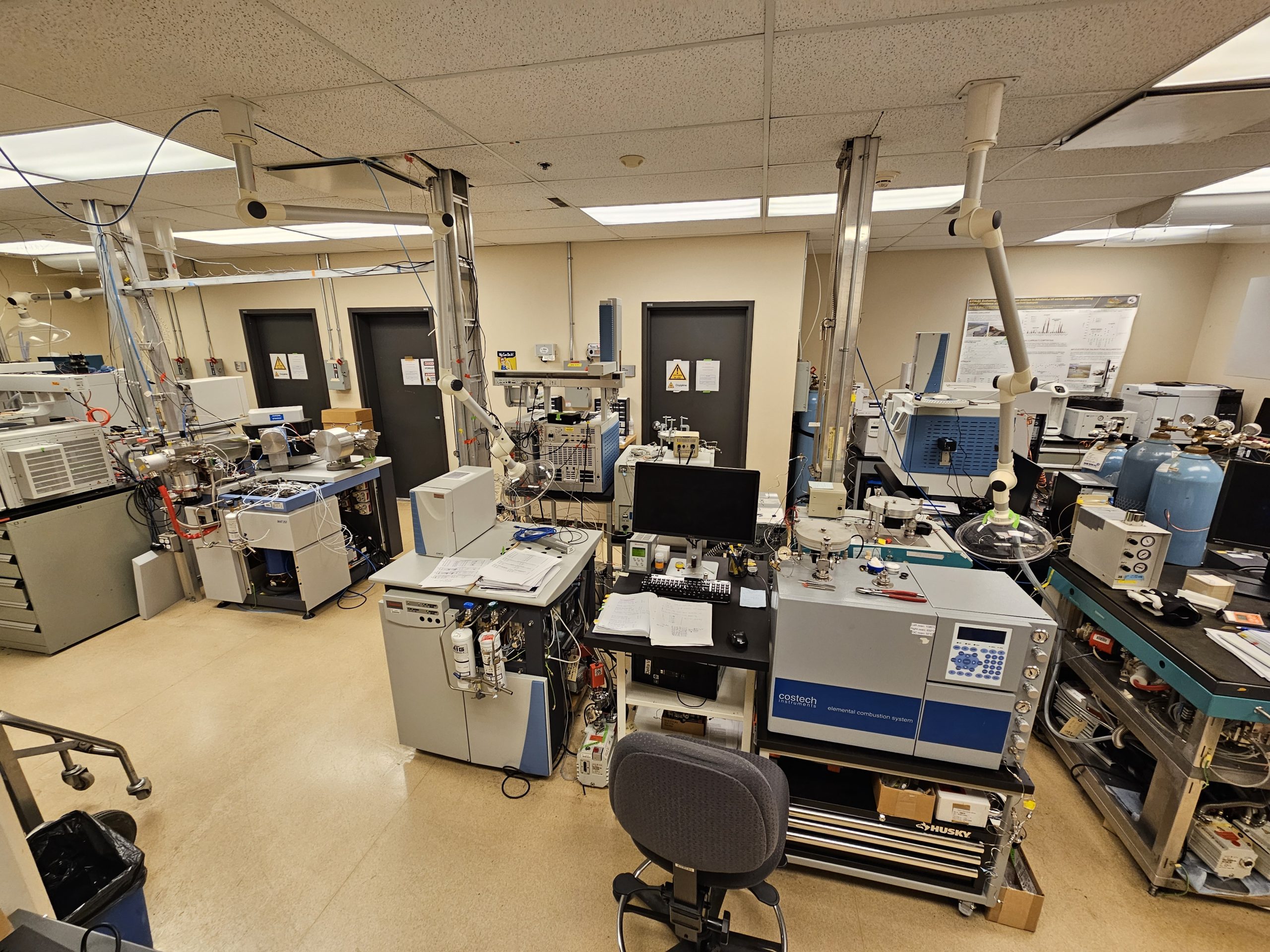
Stable Isotope Geochemistry Laboratory (Delta-Lab)
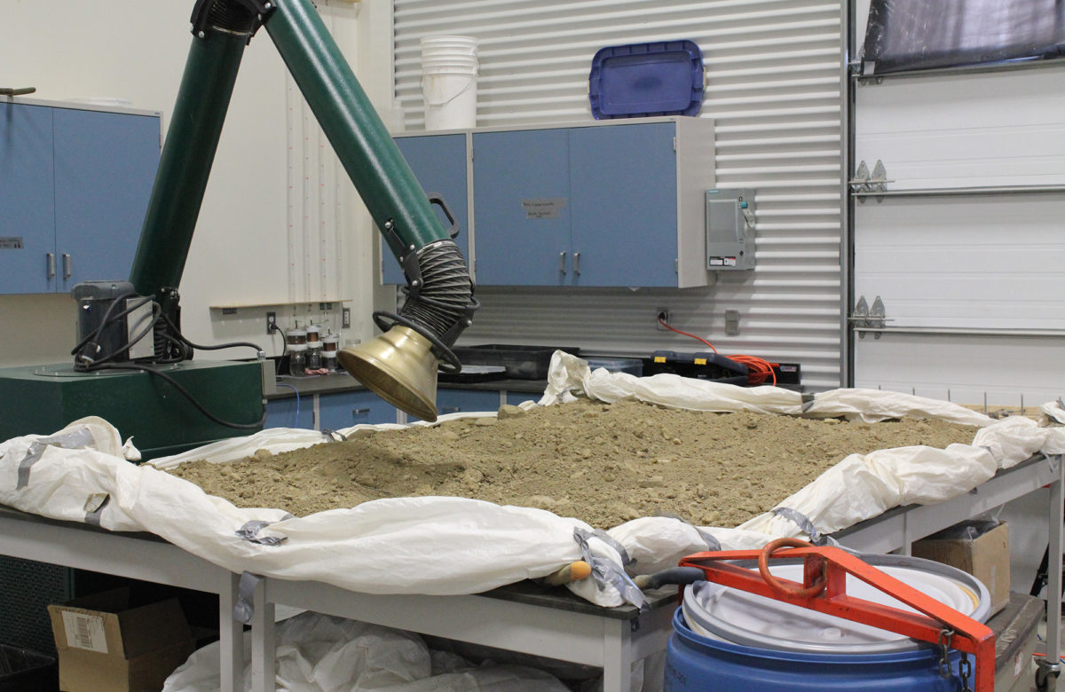
Applied Geoscience Laboratory

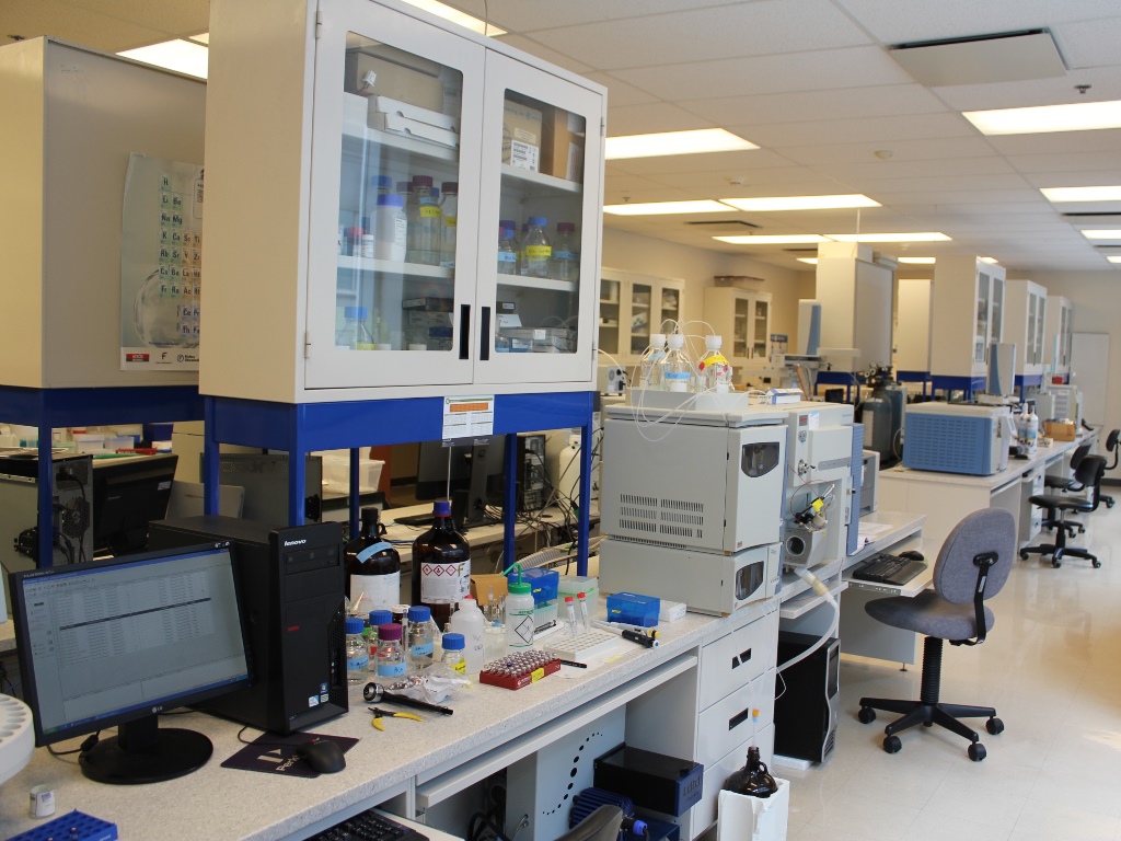
Contaminant Hydrogeology Laboratory
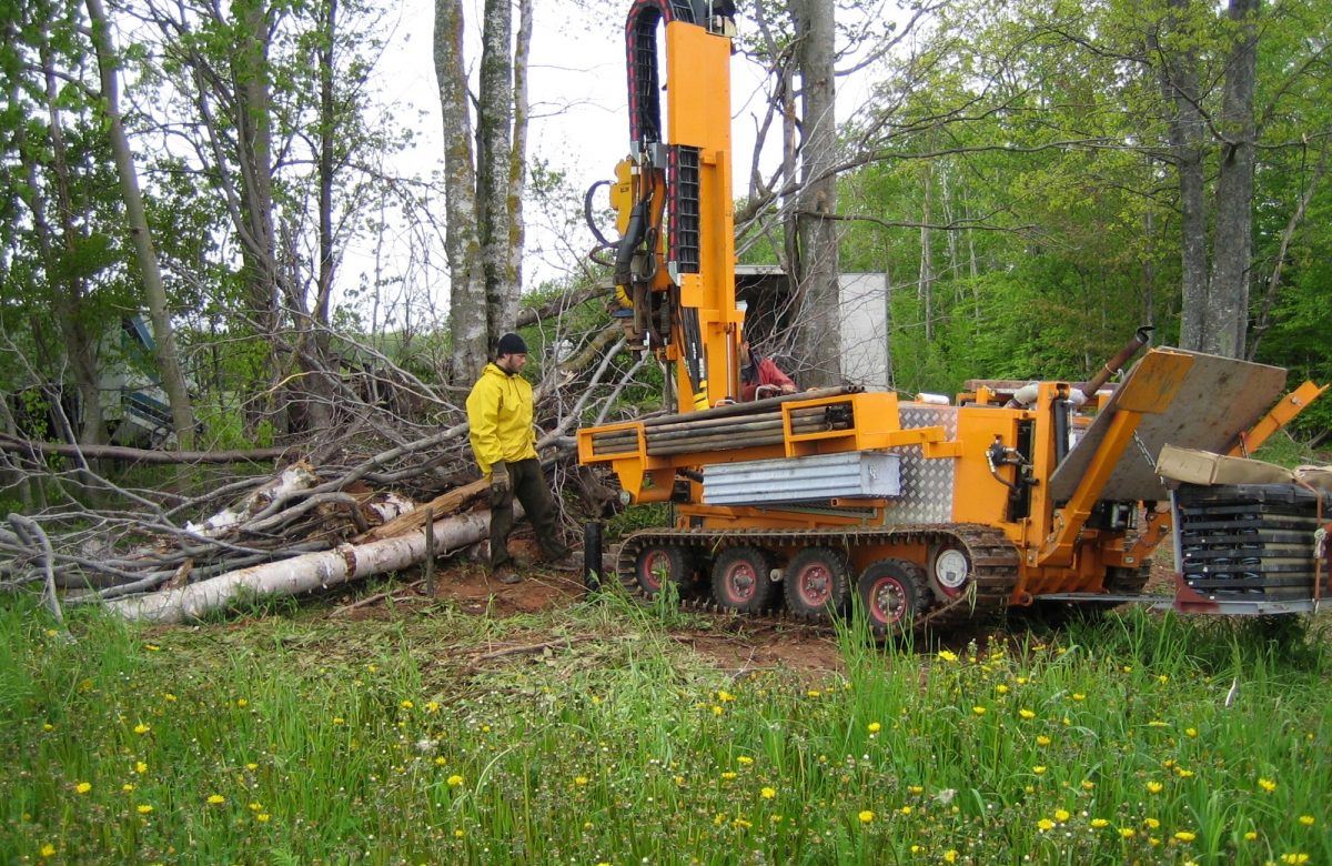
Direct Push and Rotary Percussion Sounding System for Aquifer Characterization
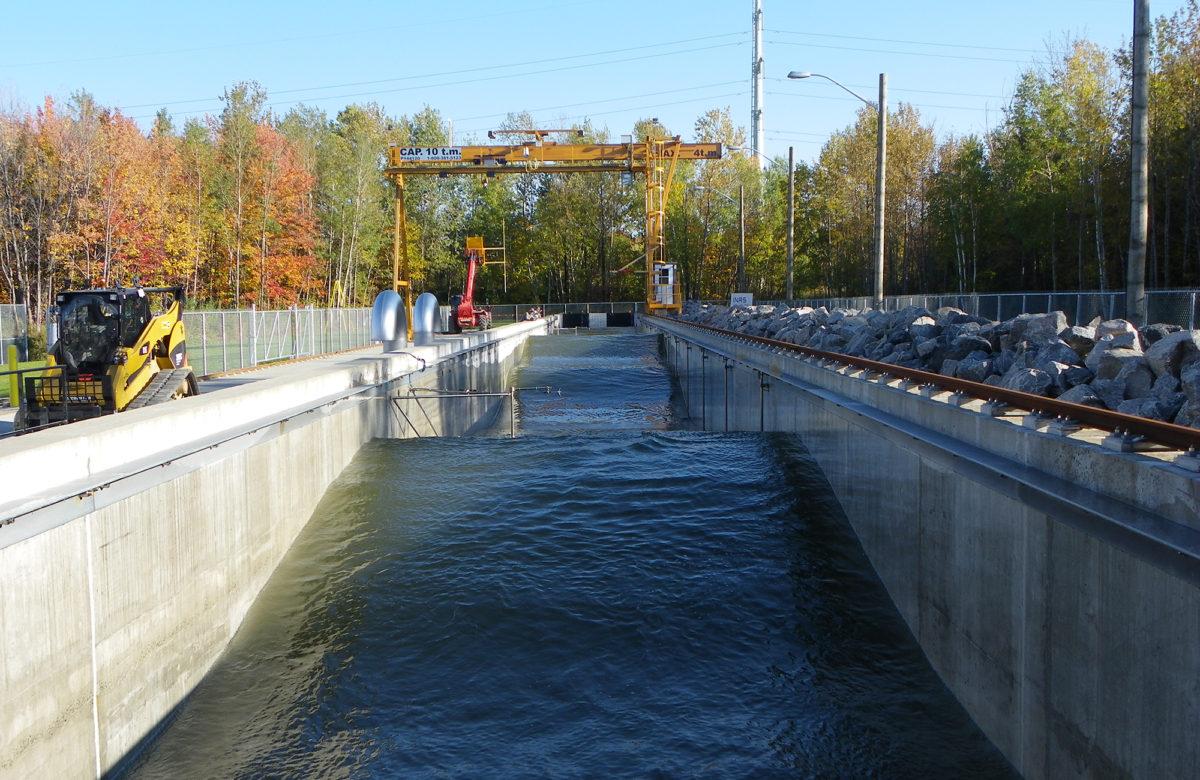
Environmental Hydraulics Laboratory
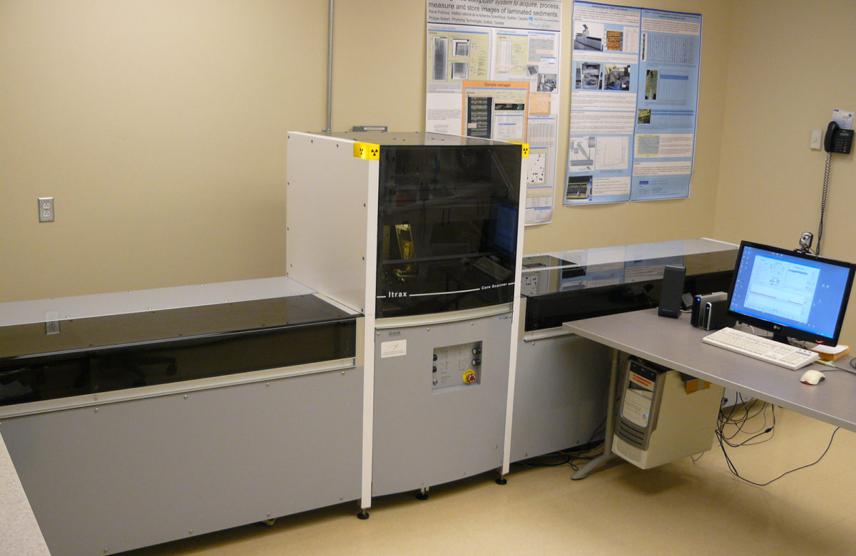
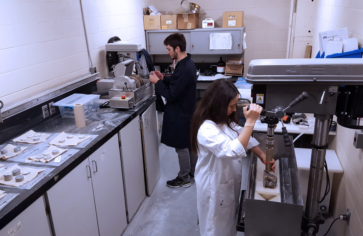
Geochemistry, Imaging, and Radiography of Sediments Laboratory
Geothermal Open Laboratory
Mutlidisciplinary CT Scanning Laboratory

Physical Simulation Laboratory
Remote Sensing Laboratories

Scanning Electron Microscopy Laboratory (SEM Lab)

Shared Services Laboratory