Defining the geological framework to guide mineral exploration
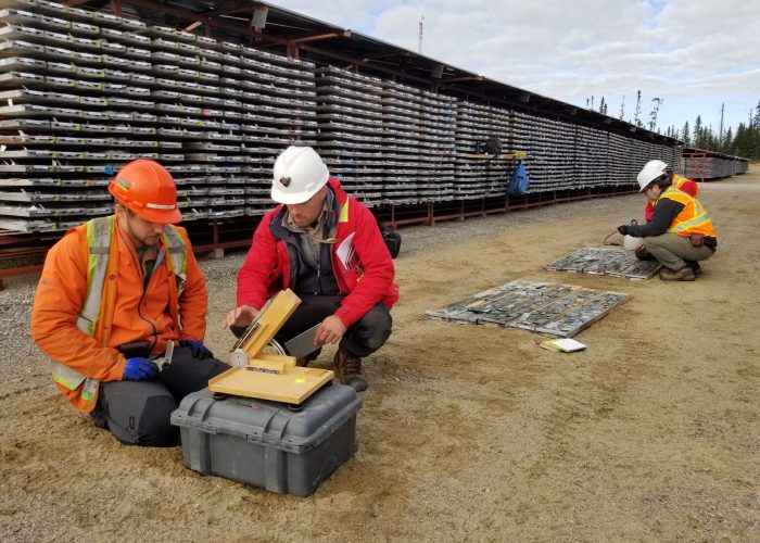
Mines for metals and other elements such as Ag, Au, Co, Cr, Cu, Fe, K, Mo, Nb, Ni, P, Pb, Pd, Pt, Si, Ti, U and Zn, as well as minerals such as diamonds, are a major source of revenue and employment in the Canadian economy, including in Quebec. Canada also has a significant potential for the exploration of other minerals classified as critical or strategic (CSMs), such as rare earth elements, lithium, vanadium and graphite, and can therefore reduce its dependence on imports. CSMs will help achieve a low-carbon society. The research carried out by PGQ members is aimed at defining the geological context of these deposits, understanding their formation processes, and developing and optimizing new prospecting methods in order to increase the competitiveness of the mineral industry in Quebec and Canada. This knowledge facilitates the discovery of new resources and their rational and optimal exploitation, and also makes it possible to extend the life of existing mining camps, thereby limiting the need for new infrastructure. This work involves various specialities, including metallogeny, igneous and metamorphic petrology, geochronology, volcanology, sedimentology, stratigraphy, structural geology and tectonics, geophysics, high-temperature geochemistry, and machine learning.

Supporting the development of sustainable energy solutions
Canada has adopted ambitious targets for 2030 to reduce greenhouse gas emissions and is aiming for carbon neutrality by 2050. Achieving these targets will require fast development of new renewable resources and technologies. The work carried out by PGQ members in this field aims at a sustainable use of the subsoil and its underground reservoirs, especially for the development of surface and deep geothermal resources (heat pumps, deep aquifers, old mines), hydrogen research and storage, and the capture, use and storage of CO2. This research draws on expertise in petrophysics, geophysics, geochemistry, sedimentology, hydrogeology, and numerical modelling and simulation (e.g. groundwater flow, heat transfer). PGQ members’ work also involves working with industry and government to accelerate the adoption of renewable technologies, and raising awareness and educating professionals and the public about the benefits and uses of renewable energy.

Understanding the environmental impacts of human activities
Human activities, such as oil and gas production, mining, agriculture, waste disposal, etc., have environmental impacts that must be minimized and monitored over time. PGQ members work on modelling contamination plumes, discriminating between natural and anthropogenic sources of contaminants, assessing the increase in erosion, developing in situ and ex situ decontamination methods, and using cutting-edge technologies for monitoring and remediating contaminated sites. The expertise of the PGQ members in this field includes organic, inorganic and isotopic geochemistry, geophysics, hydrogeology, sedimentology, ecotoxicology, and environmental genomics.

Characterizing water resources
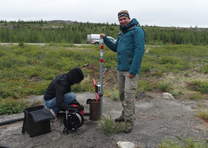
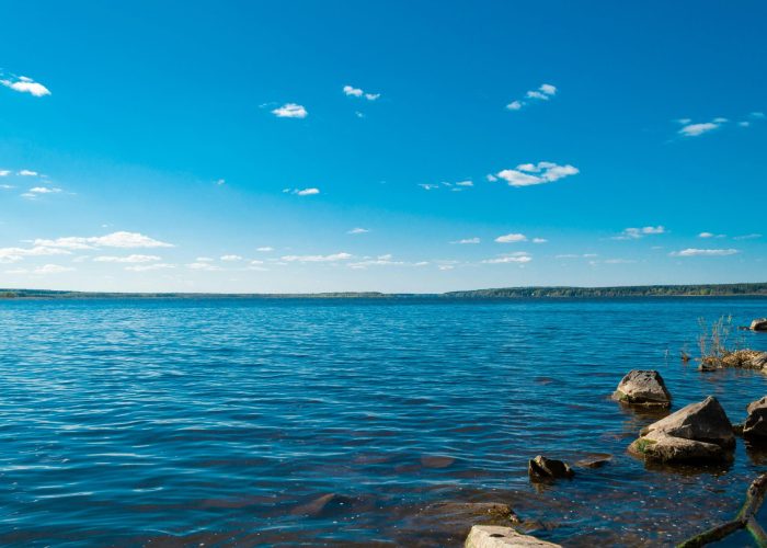
Integrated management of surface and groundwater is a major current and future challenge, given climate change and increased human activity. Groundwater (quantity and quality) is particularly important, as 25% of Quebec’s population use water from aquifers on 90% of the territory. After a regional characterization of aquifers through the PACES projects (2009-2021), the current work of PGQ members focus on a more detailed understanding of the presence of natural or anthropogenic contaminants and the various chemical and microbiological reactions within aquifers. Numerical tools are also being developed for quantifying and predicting resources. Assessing the intrinsic vulnerability and contamination risks of drinking water sources is also on the agenda. The main goal of this research is to gain a better understanding of the dynamics of water resources for a sustainable management. The expertise of the PGQ members in this field includes hydrogeology, sedimentary and Quaternary geology, numerical modelling, organic, inorganic and isotopic geochemistry, geostatistics, deep learning, and geophysics.

Adapting to natural hazards and risks
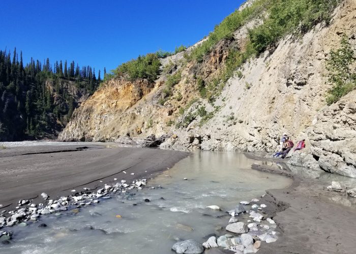
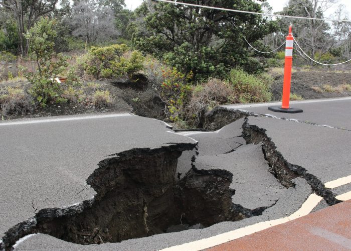
Because of its size, geographical position and geological context, Canada is likely to be affected by a wide variety of natural hazards: floods, melting permafrost, violent storms, coastal erosion, space weather (solar eruptions and winds), earthquakes, tsunamis, landslides, and volcanic eruptions. Society must adapt to reduce their impacts on both humans and the economy. Climate change is already having a direct impact on some of these risks, and needs to be considered for long-term forecasting and adaptation. The expertise of the PGQ members covers coastal engineering and shoreline erosion, flooding, geotechnics, volcanic eruptions, landslides, the impact of earthquakes on land and the mapping of active faults to better identify seismic hazards. This expertise is based on the following capacities: physical (large wave flume) and numerical modelling, geomorphology, dendrochronology, soil mechanics and dynamics, structural geology, geophysics, structural study of cliffs and sedimentology/paleoclimatology.

Acquiring, processing, and using geospatial data
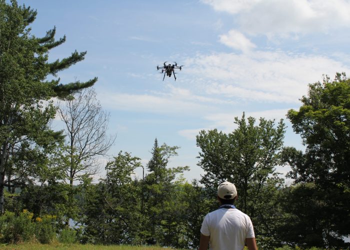
Geospatial data are acquired by direct and remote measurements and observations (satellites, airborne methods, drones). This theme is cross-disciplinary supporting the other five PGQ research themes, and that is also important in itself for understanding several phenomena. Geospatial data are particularly valuable for obtaining information in remote or difficult-to-access regions. In Earth science, this includes satellite imagery, LIDAR surveys (from which digital elevation models are derived), airborne and spaceborne magnetic and gravimetric data, terrestrial and airborne radiometric data, hydrography, and all field data from the surface (structural measurements, outcrop descriptions, etc.) and the subsurface (drilling and well data, etc.). PGQ members’ expertise in this field includes digital cartography, geographic information systems (GIS), remote sensing by satellites and drones, single- and multi-beam sonar imagery, geostatistics, artificial intelligence, geophysical data processing and interpretation, and 3D modelling.
